8. Data interpretation and 2D/3D representation of results
Data may be acquired in real-time thanks to devices connected to a software platform, or simply by entering data into files that will then be imported into a Geographic Information System for analysis.
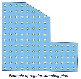
A relevant sampling plan needs to be performed, depending on the site size and objective of the characterization. Classical used sampling strategies are random, systematic (regular), circular or judgmental designs. They may be combined and used iteratively in order to better fulfill the evaluation objectives.